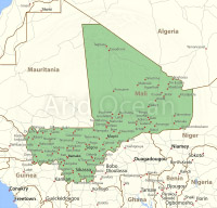
Mali, shaded relief map.
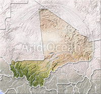
Mali, shaded relief map.

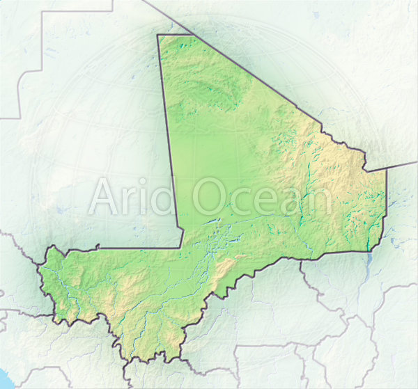
Mali, shaded relief map.
Map series: Pearl
Description:
Mali, shaded relief map. Colored according to terrain height.
Projection: Mercator ; Geographic extents: W: -14; E: 5.7; S: 9; N: 26.5
Projection: Mercator ; Geographic extents: W: -14; E: 5.7; S: 9; N: 26.5
The image is protected by copyright and no free use is allowed.