Mozambique
Mozambique

Mozambique
Map series: Country Vector Map A
Description:
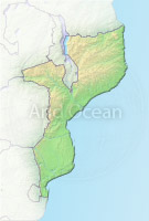
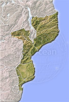
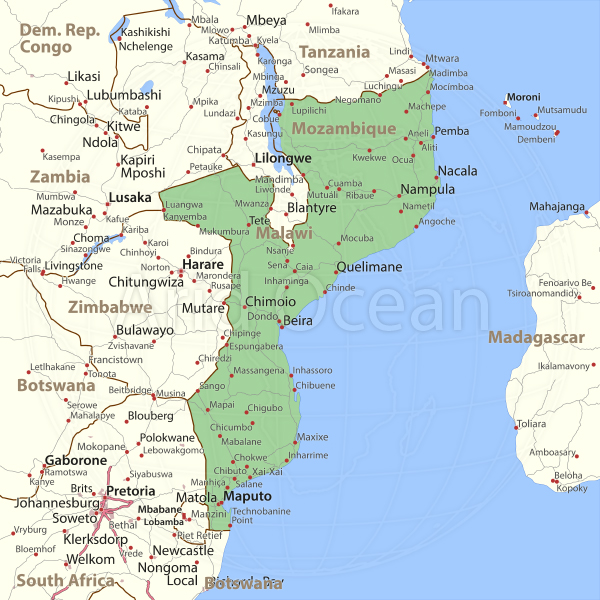
This map series shows the state territory in green with international borders, cities, highways, secondary highways and other roads.
Also included are larger water bodies.
Also included are larger water bodies.
(Note that some of the described features may not exist for some countries.)
The labels are lightly outlined and knock out underlying features to make them easily legible.
This map design is intended for graphic designers who need an overview map for a country, showing the transportation structure and important cities.
Included in the VECTOR package are Adobe Illustrator (.ai), PDF (.pdf) and EPS (.eps) versions.
See the Description of CountryVectorMap-A layer structure for details.
The vector maps are particularly useful if you want to make extensive modifications to the map. They offer the most flexibility for all kinds of changes and are scalable to any size.
They are compatible with Illustrator CS6 and higher, resp. EPS 10 and PDF 1.5.
Projection: Mercator
The image is protected by copyright and no free use is allowed.