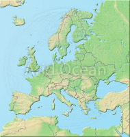
Europe, shaded relief map
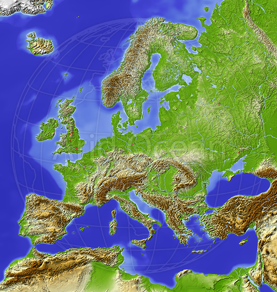
Europe, shaded relief map
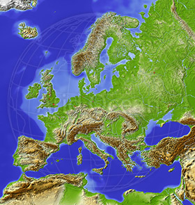
Europe, shaded relief map
Map series: Marble Mount A
Description:
Europe, shaded relief map with major urban areas. Colored according to relative height. Projection Lambert Azimuthal Equal-Area (10/50)
Extents: -10/28//71/63
Data source: NASA
Extents: -10/28//71/63
Data source: NASA
The image is protected by copyright and no free use is allowed.