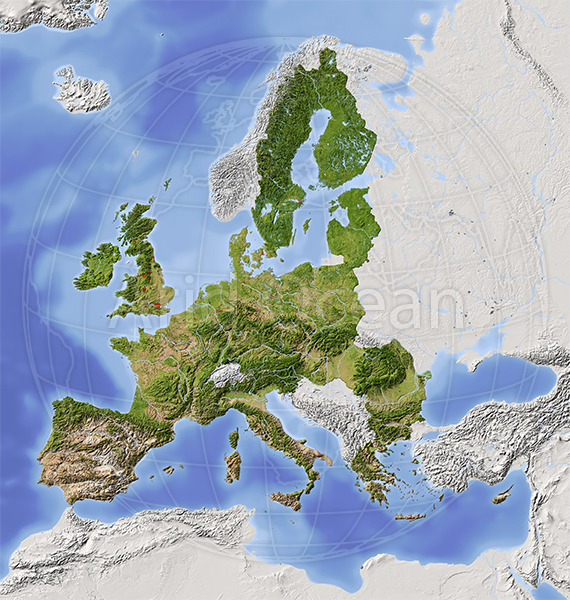
European Union, shaded relief map
Map series: Marble Mount A
Description:
European Union, shaded relief map with major urban areas. Territory outside the euopean union greyed out. Colored according to vegetation.
Projection Lambert Azimuthal Equal-Area (10/50)
Extents: -10/28/71/63r
Data source: NASA
Projection Lambert Azimuthal Equal-Area (10/50)
Extents: -10/28/71/63r
Data source: NASA
The image is protected by copyright and no free use is allowed.
Available formats and sizes:
| Type | Pixels | Size when printed at 300 dpi | File Size | Price | |
|---|---|---|---|---|---|
| JPEG | 3000 x 3157 | 25.4cm x 26.7cm | 6.9 MB | ||
| JPEG | 5000 x 5261 | 42.3cm x 44.5cm | 13.6 MB |

Please note that these maps are downloadable images, not printed maps!
Download links will be sent after payment.


